Wednesday April 16
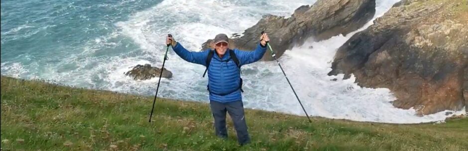
On Dartmoor with the Tavistock Ramblers group and a walk down memory lane:


Photo slideshow:


The Leat is a man made aquaduct carrying water a long distance across the moor for early local industries such as mining.
Youthful Adventures on Dartmoor
One summer, when I was 12 years old and a member of the 14th Richmond Sea Scouts, we set off by train to Prawle Point in Devon. It’s the southernmost point in Devon. An advance party of senior scouts had gone earlier to set up camp for about 30 of us younger boys, all under 15. It was my first big Camp and a long way from home in Twickenham, a town to the west of London. After a few days we were given a challenge in the form of a Wide Game as it is called in the Scouts. This was to take place on Dartmoor. We were loaded into a couple of locally supplied vans and driven up onto the moor. The task was to set out in separate groups of three and navigate to a defined point. Then we had to pick up instructions for the next point to navigate to and so on so that a few hours later the 10 or so groups of three would all end up in the same point on Dartmoor to be ferried back to camp again.
Now Dartmoor is a beautiful and desolate place but in bad weather it could be very easy to get lost. We had no phones or Sat Navs in those days. In fact, we were especially challenged by only being allowed to carry a map or a compass, but definitely not both, between the three of us. We each had a bar of chocolate and some water but little else. These were days that long preceded specialised clothing for outdoor types. And in any case, they would have been beyond my reach. We had City shoes or plimsolls, shorts and shirts. Some of us wore the seamen’s jerseys on which our Sea Scout uniforms were based. Some of us had good scouting skills like map, reading and navigating by the sun. But we were really townie kids from London. So were our older Scout leaders who dreamt up this escapade.
My trio had a compass to navigate with as did all the other groups except for one which had a map. We were all dropped in different places setting off with a compass bearing and having been given a distance to walk written on our first instruction paper. So, as you might imagine, when we had walked for about 20 minutes, we found ourselves walking in really boggy ground. We had to find a way around the marshy area but after doing so it was not really possible to pick up the line we had set out on. After a while it became clear that we were lost and furthermore had no way of finding out where we were or where we were going. Then to make matters worse, we became surrounded by fog as often happens up on the moor when the clouds are low. This event fortunately coincided with meeting one of the other groups and it raised the morale somewhat. After a lot of discussion about how to extricate ourselves from this predicament, someone with better wilderness skills than me, suggested that there was only one way to get out. High moorlands usually have streams which generally lead downwards to the edge of the moor and hence to roads and habitation. During the next hour we came across all the other groups bar one who were similarly lost and following the same method. This again boosted morale, but what we did not know of course is where the meandering stream would lead to. We trudged on for what seemed like many hours. The chocolate bars had long since been consumed, but then at last we saw a solitary building accessed by a narrow lane leading down the valley. As we descended, the visibility improved but we had no idea which side of the moor we were on and only had a rough idea that we had been driven from the south coast to Dartmoor so we must have set out from that side.
At this stage I lost track of the logistics but eventually after the older, more experienced boys had found a dwelling with a telephone, our Scout leaders were located, and we were driven back in the vans to camp arriving after dark. The Scoutmaster, Eric Godfrey, had single-handedly cooked a meal which 30 tired and hungry boys quickly consumed and fell into their sleeping bags for the night.
You may be wondering what happened to the other group which we did not see until we got back. Well, they were the ones with the map instead of a compass. So, they ended up having had a similar experience but in a different place having descended following the banks of a different stream.
My patrol leader, whose name I have long forgotten was always humming the tune to “Earth Angel” and accompanying it with a knife for a drumstick on the camp table. Elvis Presley informally recorded the song in October 1954 while serving in the US army in Germany.
Cue music !
The walk on Dartmoor was followed by a quick visit to Tavistock Market near the Town Hall

Outdooractive route: https://www.outdooractive.com/en/track/spring-hiking-round-trip-around-inscribed-boulder-in-the-river-in/313542675/?share=%7E3ivwfgxv%244ossiyxf